
Testing Groundwater in Koni, Bilaspur
Contents
The problem in Koni
Koni, on the edge of Bilaspur, had the familiar story: new borewells drilled deeper every summer, older ones running dry, and no shared picture of what lay beneath. Farmers were paying for depth, not for water.
We went in with one rule — survey before you drill.
What a georesistivity survey actually measures
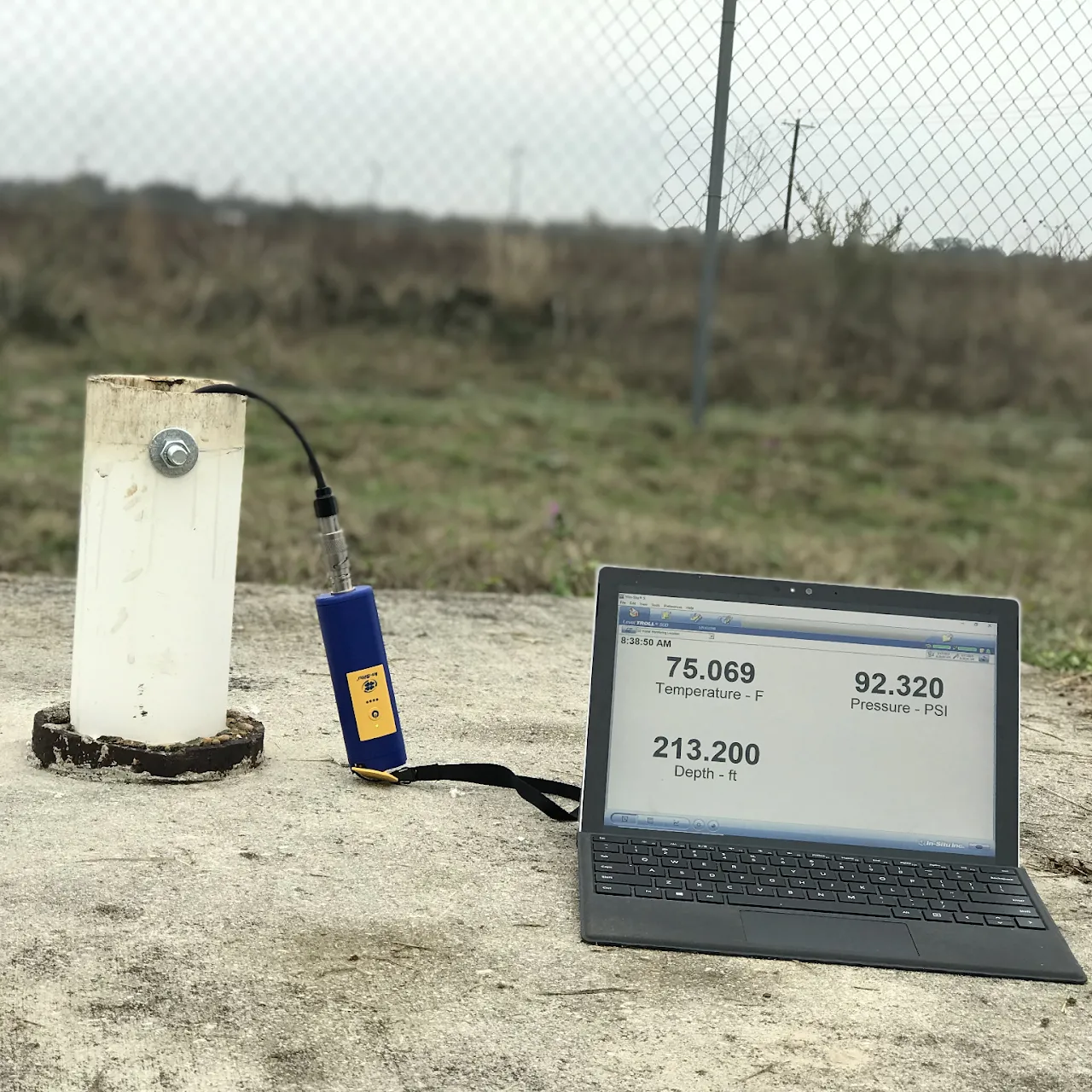
Rock, clay and water conduct electricity differently. By pushing a small current into the ground through electrodes and measuring the resistance, we build a vertical profile of the subsurface. Low-resistivity bands usually mean saturated, water-bearing layers; high-resistivity bands mean dry rock.
- Wenner array for shallow, high-resolution profiles
- Schlumberger sounding to reach deeper aquifers
- Cross-checks against nearby borewell logs
Working with the community
The most useful data came from people, not instruments. Villagers knew which wells had failed, which stayed wet through May, and where the last successful borewell was. We layered that local memory over the resistivity profiles.
What we found
Two promising aquifer zones, both shallower and offset from where the next borewell was about to be sunk. Drilling at the surveyed spot meant less depth, lower cost, and a far better chance of a lasting well.
Takeaway
A half-day survey routinely saves the price of a failed borewell. Groundwater isn't invisible — it's just unmeasured. Measure first, then drill.