
India's First Borewell Congestion Map
Contents
The race to the bottom
When nobody can see their neighbours' borewells, everyone drills deeper to out-compete them. The result is a literal race to the bottom of the aquifer — more cost, more energy, more dry wells.
What the congestion map does
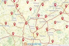
Bhujal's map plots every registered borewell in a locality, with depth, status and water level. In one glance you can see:
- How crowded an aquifer already is
- Whether nearby wells are active or dry
- Where a new borewell would just compete with an existing one
Share, don't sink
The most sustainable borewell is often the one you don't drill. Through the "Collaborate with Others" section, neighbours can share an existing source instead of paying for a redundant one.
How registration works
Owners register a borewell in a minute — location, depth, status. That single act makes the resource visible to everyone around them and feeds the prediction model.
Impact
Fewer redundant borewells means less capital wasted, less groundwater over-mined, and lower carbon from needless drilling. Visibility, it turns out, is a conservation tool.